Summer interns in NASA's DEVELOP program will present their research on Wednesday, August 8, 2012, beginning at 12:45 in UAHuntsville's Cramer Hall, room 4065.
The NASA DEVELOP National Program is a student internship which fosters an interdisciplinary research environment where students work on applied science research projects under the guidance of NASA and partner science advisors. DEVELOP is unique in that interns lead research projects that focus on using NASA Earth observations to address community concerns and public policy issues. Our summer 2012 interns have been working for 10 weeks approaching Earth Science from a variety of perspectives. With the competitive nature and growing societal role of science and technology in today's global workplace, DEVELOP is fostering an adept corps of tomorrow's scientists and leaders.
Presentations include:
Alabama Agriculture:
Validity Checking the Coupled Land Surface Products and DSSAT Model for a Case Study in Alabama
Alabama farmers' crops are subject to drought conditions and ultimately large losses in revenue, a huge problem for Alabama's economy. By comparing NASS records with the GriDSSAT crop model yields the resulting information will increase the knowledge of the accuracy of the DSSAT model and help the USDA/NASS to more accurately distribute insurance claims.
Colombian Fire Forecasting:
Utilizing NASA EOS Data for Fire Management in el Departmento del Valle del Cauco, Colombia
El Departmento del Valle del Cauco, Colombia witnesses numerous fires every year endangering ecosystems, infrastructure, and human life Because many of the fires begin from anthropogenic sources, a fire prediction tool made available to the public could reduce the risk of loss. The goal of this project is to create a model that will correlate environmental factors with historical fire locations to create a map of the spatial probability of fire ignitions for community awareness.
Nepalese Food Security:
Assessment of Food Security and Famine Threat Forecast Using NASA EOS with in situ Meteorological Station Data in The Decision System Support for Agrotechnology Transfer (DSSAT)
Using satellite datasets including the Tropical Rainfall Measuring Mission (TRMM) precipitation and the Global Land Data Assimilation System (GLDAS) solar insulation and temperatures in the Decision System Support for Agrotechnology Transer (DSSAT),Nepalese food security forecasts can be generated and famine threat can be predicted.
Southeast Ecological Forecasting
Using NASA Earth Observation System (EOS) satellites for large-scale mapping of the longleaf pine (Pinus palustris) forest ecosystem to assist the Longleaf Pine Alliance in long-term management, restoration and conservation strategies.
Middle East Health & Air Quality:
Utilizing NASA EOS in the Saharan and Arabian Deserts to Examine Dust Particle Size and Identify Spectral Signatures of Aerosols
The focus of this project is to determine the mineralogy of the dust that service members may have inhaled during a dust storm and determine particle size distribution of aerosolized dust.
------
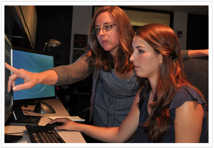
Photo: Tori Florence, right, a senior at Bob Jones High School and a DEVELOP intern this summer, works with DEVELOP team leader and UAHuntsville graduate student Claire Herdy on retrieving NASA data used for research projects this summer.
Point of Contact: Claire Herdy herdyc@nsstc.uah.edu