Sally Ride EarthKAM (Earth Knowledge Acquired by Middle school students) is a NASA education program that enables thousands of students, teachers, and the general public to learn about and examine Earth from the unique perspective of space. This program contributes to the Laboratory for Applied Science (LAS) mission for education in remote sensing application.
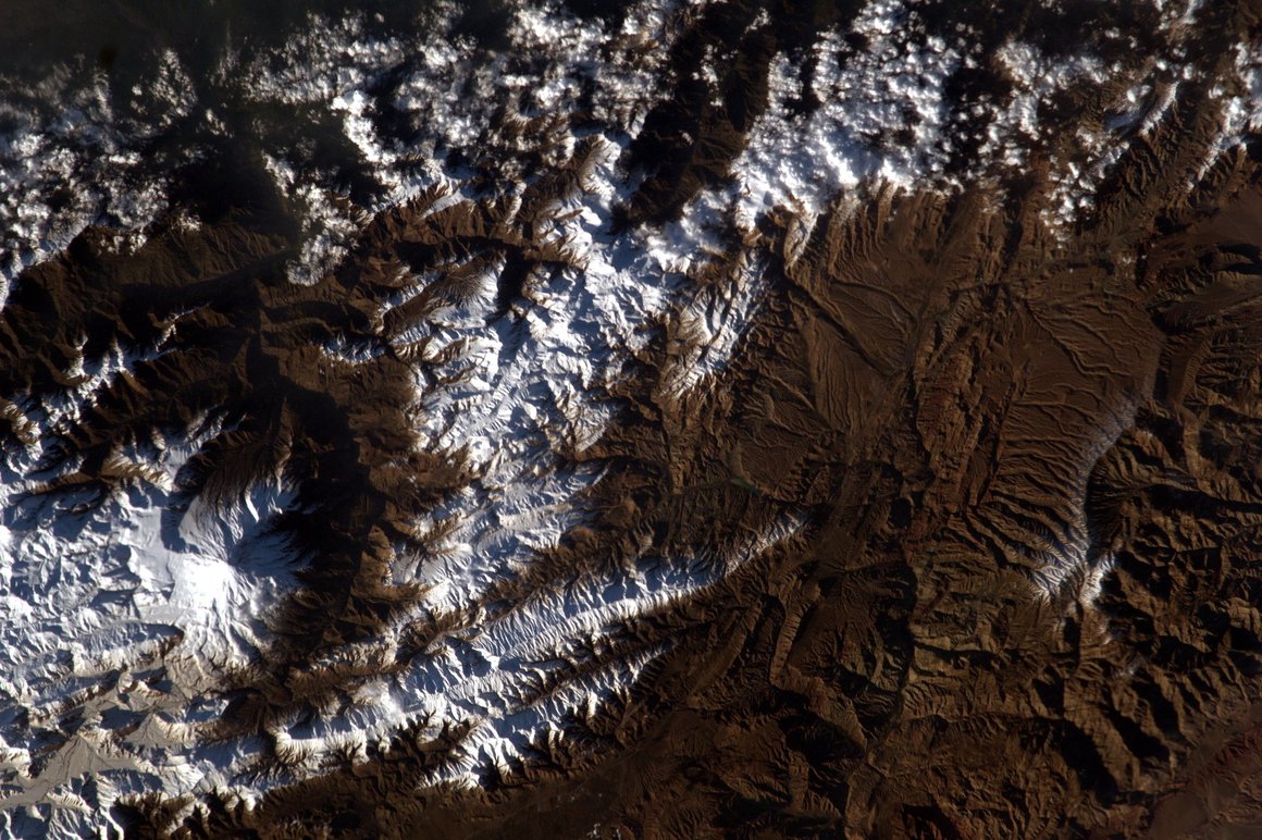
Mount Damavand, Iran as seen from the ISS.
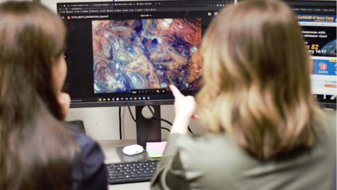
During EarthKAM missions, students in grades K-12 around the world control a special digital camera mounted on the International Space Station to request images of Earth’s coastlines, mountain ranges, and other interesting geographic features. These photos are then transferred to the University of Alabama in Huntsville (UAH) where EarthKAM researchers, like Mission Operations Lead Maggi Schick adds metadata to each photo. “It is so cool to look at awesome photos from space every day and connect students around the globe with pictures of their hometown and provide them a wider world view,” says Klug. The amount of photos uploaded can be anywhere from one thousand to ten thousand per mission! In fact, EarthKAM’s Graduate Research Assistant Farnaz Bayat’s favorite image in the collection of millions is of Mount Damavand, a dormant volcano and the highest peak in Iran, which is close to her home city of Tehran.
As an adult I find it interesting that young children can learn different geographic features through EarthKAM – manmade vs natural, different color schemes of desert versus water, patterns of mountain ranges, snowpack versus cloud cover – how beautiful and artistic earth looks from space. How exciting that can be for a 12 year old seeing those images!
The entire collection of EarthKAM images is available online. This image archive and accompanying activities are extraordinary resources to engage students in Earth science, remote sensing, space science, geography, social studies, mathematics, communications, and art.
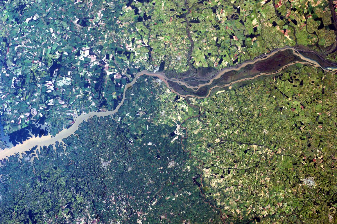
Parana River at the border of Paraguay and Brazil.
Schick's favorite image, if she had to narrow it down to just one, is actually one that hangs just outside her office. “I really like the aspect of human impact on the land. Satellites are great for helping with that. For example, mapping fire risk or deforestation is much easier to survey from the air than on the ground,” she says.
EarthKAM, at the time known as KidSat, was initiated in 1995 by Dr. Sally Ride, America’s first woman in space. The KidSat camera flew on three space shuttle flights (STS 76, 81, and 86) to test its feasibility. In 1998, the program was renamed EarthKAM. The EarthKAM camera flew on two more shuttle flights (STS 89 and 99) before moving to the International Space Station (ISS) on Expedition 1 in 2001. Sally Ride died in 2012, and in 2013, NASA renamed the program Sally Ride EarthKAM. The Sally Ride EarthKAM camera remains a permanent payload on the ISS, supporting about four missions annually.
Teachers wishing to supplement their STEM curriculum with Sally Ride EarthKAM images can sign up for a mission online or explore other related activities on their own time. If a curriculum includes the study of volcanoes or craft time includes painting sunsets, EarthKAM can amplify those studies by incorporating the unique perspective from space.
You can connect with Sally Ride EarthKAM on Facebook, Instagram, and Twitter.